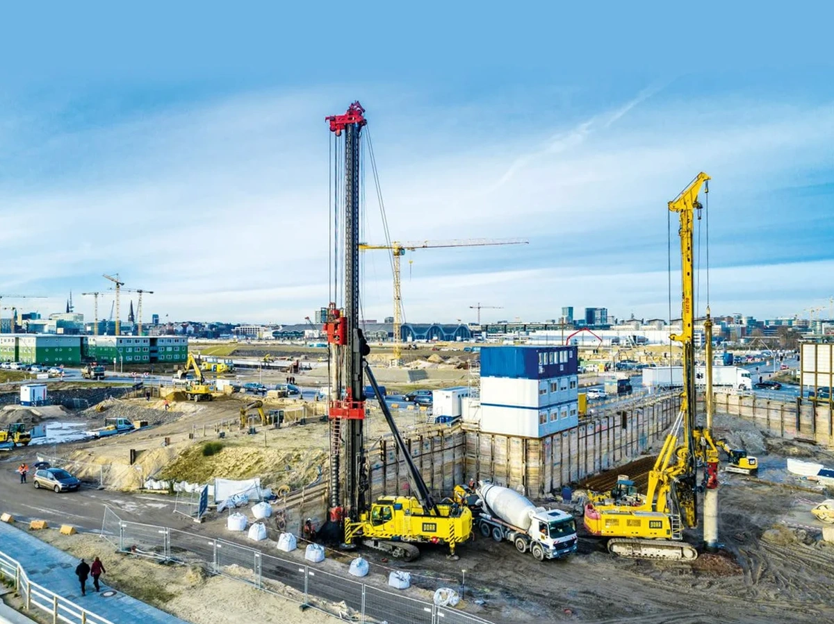
A common mistake in Fort Lauderdale is treating the entire site like it sits on competent limestone when, in reality, the upper 10 to 30 feet often consist of loose sands, organic silts, or urban fill with erratic density. A project in the Las Olas Isles area that proceeds with shallow footings without verifying deep stratigraphy risks differential settlement that cracks the superstructure within the first two wet seasons. Our pile foundation design process begins by mapping the depth to the Fort Thompson Formation or the Miami Oolite, because the capacity of any driven or augered element depends entirely on whether the tip bears on calcarenite, dense sand, or softer interbedded marl. At sites near the New River, where the water table sits barely three feet below grade, we combine SPT data from a CPT test campaign with laboratory triaxial results to define side friction in saturated sands and to confirm that the proposed pile length bypasses the scourable zone identified in the hydraulic report.
In Fort Lauderdale, pile capacity is governed less by the pile section and more by the quality of the side-friction bond through the fluctuating freshwater-saltwater interface zone.