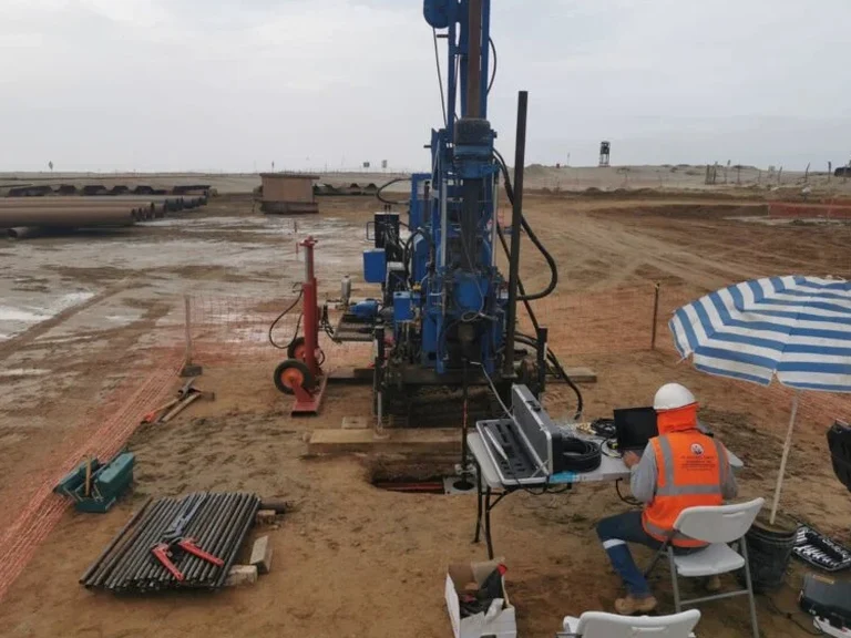
Fort Lauderdale's subsurface rarely matches what you'd expect from a textbook. The coastal ridge runs parallel to the barrier island, but just a few blocks inland the soils shift from clean dune sand into organic silts and marl layers that can fool a standard boring log. We see it all the time on sites east of US-1, where peat lenses sit just a few feet below the water table and go undetected until a rig hits unexpected refusal. A CPT test cuts through that ambiguity. Instead of waiting for lab results from split-spoon samples, the cone gives you a continuous resistance profile with pore pressure readings that flag loose zones, soft clay seams, and liquefiable layers in real time. On a recent job near Las Olas Isles, the CPT identified a compressible silt pocket at 14 feet that the preliminary soil report had completely missed — and it changed the entire foundation design. For sites with high groundwater and variable Holocene deposits, combining CPT data with targeted SPT drilling gives engineers a calibration point that satisfies local building officials while keeping the investigation fast and minimally invasive.
In saturated coastal profiles where the water table sits at three feet, pore pressure dissipation data tells you far more about settlement risk than tip resistance alone.