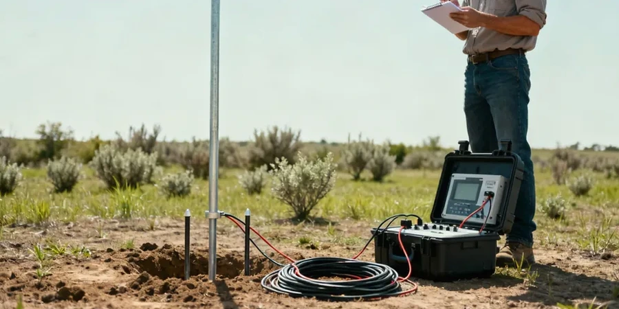
A common mistake in Fort Lauderdale is treating every site like it sits on uniform sand. The reality is more complicated. Much of the city lies over the Biscayne Aquifer, where freshwater lenses float atop denser saltwater, and solution cavities riddle the limestone at unpredictable depths. Standard borings give you data at a point, but they miss the lateral transitions between clean sand, organics, and weathered rock. That is where electrical resistivity testing becomes essential. By measuring how the subsurface resists current flow, we map these transitions continuously. The MASW survey often pairs well with resistivity here, because shear-wave velocity helps distinguish loose infill from competent limestone when the resistivity contrast is subtle. Our team runs vertical electrical soundings with 4-pin Wenner and Schlumberger arrays, calibrated against local USGS hydrogeologic profiles, so you know exactly what lies beneath the slab before excavation starts.
A resistivity line across a Fort Lauderdale site can reveal the saltwater wedge, a buried paleochannel, and a solution pipe in the same 400-foot profile.